My postdoctoral adviser at Lamont showed me something really cool today that I suspect is pretty common knowledge (it was new to me!). Google Earth has a feature that allows you to view historic aerial/satellite photos for any point on Earth, or at least for any place that was interesting enough to someone in the past that they took a photo of it.
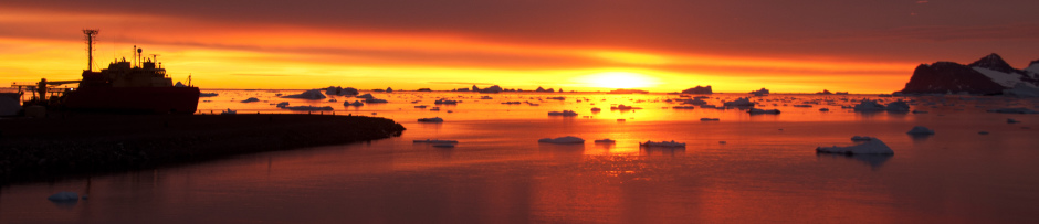
Fortunately one of those places is Palmer Station, Antarctica, home to a small US research base and a really large glacier. There are photos of the site available from 1963, 1975, 2004, 2008, and 2013. What is as remarkable as it is expected is the dramatic retreat of the glacier. Using nothing other than the ruler tool in Glacier Earth anyone can work up a neat little dataset of glacial retreat. Here are the photos from each year, in order:


That’s a pretty dramatic change. The yellow line is my ruler, I tried to measure along the same aspect to a well defined point along the glacier’s tongue each year. Obviously it’s a little bit subjective. We can take this a step further and plot out the values:

Never mind the Excel plot. It’s too late for R. The big data gap between 1975 and 2004 is unfortunate; there’s a photo for 1999 but it’s not useable. The data shows that the glacier has retreated nearly half a kilometer from Palmer Station in 50 years. That’s not a particularly dramatic glacial retreat relative to some but still impressive to see. More importantly the rate of retreat is increasing, up to around 15 m per year from 5 m per year at the start of the record.
Of course all of this has implications for the ecosystem around Palmer Station. The Palmer Long Term Ecological Research project has documented a big increase in the proportion of glacial runoff in coastal seawater along the West Antarctic Peninsula. This increase is linked to changes in phytoplankton community structure, the base of a short and tightly coupled foodweb. You can read more about that here.
*** UPDATE ***
Hugh Ducklow, my adviser here at Lamont, gave me permission to post the following images and further explanation. He’d found the images after plotting, in Google Earth, the locations of some temperature data recorders placed in the soil in a line between Palmer Station and the glacier in the Austral summer of 2014. The location of the temperature probes can be seen in the following images. It is, of course, important to remember that the glacier retreats in fits and starts (something that can be seen in the data above). Years of stability can be followed by catastrophic melt, and the other way around. Here are the years 1975, 2004, and 2013, with the location of the loggers superimposed.


